Trail On foot Rudawka Jaśliska - Beskidzka Trasa Kurierska „Jaga–Kora” - Photo

Beskidzka Trasa Kurierska „Jaga–Kora”

Tous les sentiers balisés d’Europe PRO

© OpenStreetMap contributors
Length
Length
7.5 km
Max alt
Max alt
563 m
Uphill gradient
Uphill gradient
58 m
Km-Effort
Km-Effort  
8.4 km
Min alt
Min alt
469 m
Downhill gradient
Downhill gradient
111 m
Boucle
Boucle
No
Signpost
Signpost
Creation date :
2022-02-16 16:44:01.59
Updated on :
2022-03-08 12:47:02.519

(0 Reviews)

On foot
On foot
1h55
Difficulty : Easy

Scan this QR Code to open this trail in the SityTrail application

FREE GPS app for hiking

Logo SityTrail SityTrail

IGN / Geographical institutes

Download SityTrail from the App Store Download SityTrail from Google Play

Logo SityTrail SityTrail World

The world is yours!

Download SityTrail from the App Store Download SityTrail from Google Play Download SityTrail on Huawei AppGallery

About

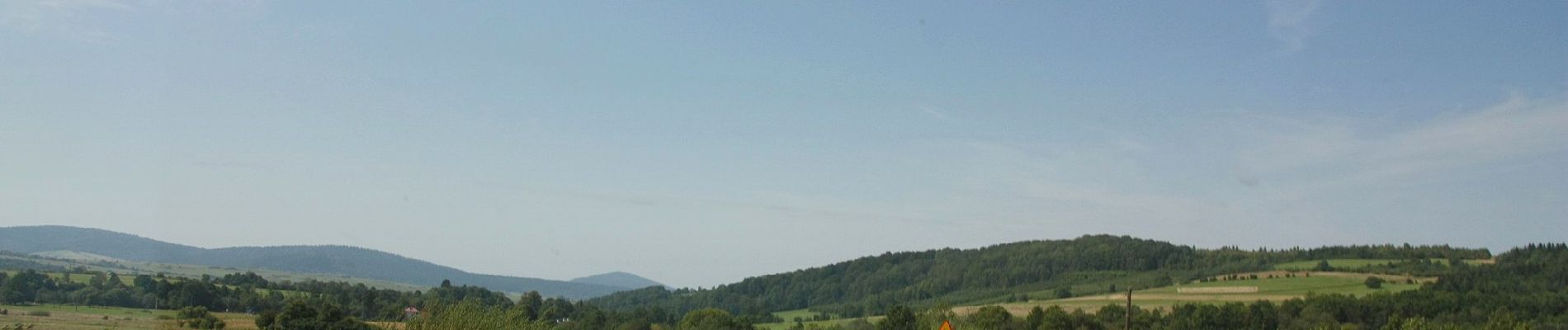
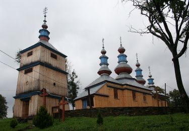
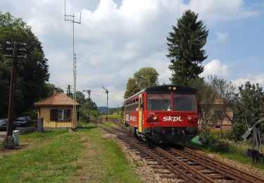
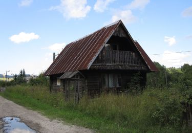
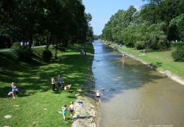
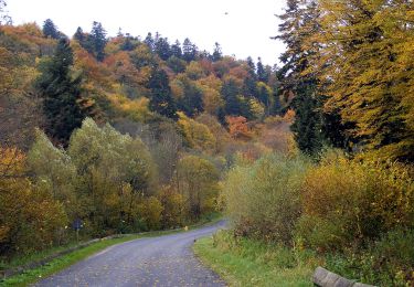
Trail On foot of 7.5 km to be discovered at Subcarpathian Voivodeship, Krosno County, Rudawka Jaśliska. This trail is proposed by SityTrail - itinéraires balisés pédestres.

Description

Zmieniłem kolor szlaku na czarny w celu poprawienia czytelności na mapach. W pewnym momencie równolegle przebiegały trzy czerwone szlaki.

Symbol: Białe tło : Czerwony symbol Polski Walczącej

Photos

Positioning

Country:
Poland
Region :
Subcarpathian Voivodeship
Department/Province :
Krosno County
Municipality :
Rudawka Jaśliska
Location:
Unknown
Start:(UTM)
564410 ; 5470272 (34U) N.

Trails nearby

Trail On foot Rymanów-Zdrój - Trasa Fitness - Photo
On foot
PRO

On foot

Easy
Rymanów-Zdrój, Subcarpathian Voivodeship, Krosno County, Poland
4 km | 5.9 km-effort
1h 20min
No
Trail On foot Iwonicz-Zdrój - Rymanów Zdrój - Iwonicz Zdrój - Photo
On foot
PRO

On foot

Easy
Iwonicz-Zdrój, Subcarpathian Voivodeship, Krosno County, Poland
5.3 km | 8.1 km-effort
1h 50min
No
Trail On foot Daliowa - Szlak spacerowy Stasiana - Dukla - Photo
On foot
PRO

On foot

Medium
Daliowa, Subcarpathian Voivodeship, Krosno County, Poland
14.5 km | 24 km-effort
5h 31min
No
Trail On foot Komańcza - Ścieżka przyrodniczo-historyczna po Komańczy - Photo
On foot
PRO

On foot

Easy
Komańcza, Subcarpathian Voivodeship, Sanok County, Poland
3.6 km | 5.4 km-effort
1h 14min
No
Trail On foot Kulaszne - Śladami dobrego wojaka Szwejka - Photo
On foot
PRO

On foot

Very difficult
Kulaszne, Subcarpathian Voivodeship, Sanok County, Poland
51 km | 66 km-effort
15h 1min
No
Trail On foot Rzepedź - Jawornik - Wahalowski Wierch - Photo
On foot
PRO

On foot

Easy
Rzepedź, Subcarpathian Voivodeship, Sanok County, Poland
6.1 km | 8.7 km-effort
1h 58min
No
Trail On foot Rymanów-Zdrój - Ścieżka przyrodnicza Rymanów Zdrój - Photo
On foot
PRO

On foot

Easy
Rymanów-Zdrój, Subcarpathian Voivodeship, Krosno County, Poland
8.2 km | 12.6 km-effort
2h 52min
Yes
Trail On foot Daliowa - W przełomie Jasiołki - Photo
On foot
PRO

On foot

Easy
Daliowa, Subcarpathian Voivodeship, Krosno County, Poland
3.3 km | 6.9 km-effort
1h 34min
Yes
Trail On foot Zyndranowa - Zyndranowa Schronisko - Jaśliska - Photo
On foot
PRO

On foot

Easy
Zyndranowa, Subcarpathian Voivodeship, Krosno County, Poland
5.6 km | 8.3 km-effort
1h 52min
No


Close
My subscriptions